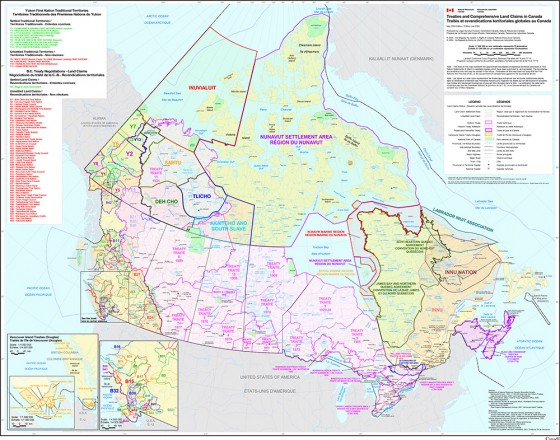
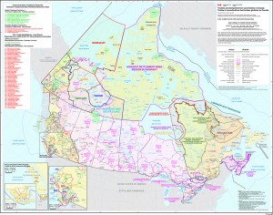
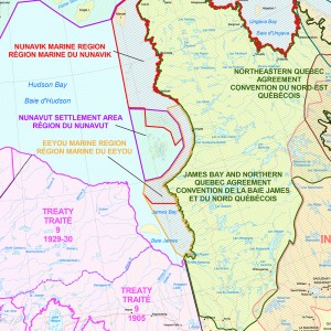
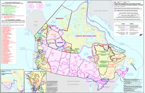
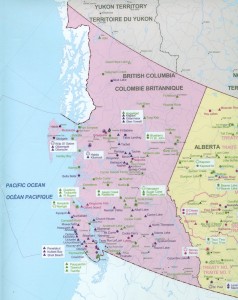
Between 1999 and 2005 I was employed at Natural Resources Canada (Federal Government of Canada) as a Cartographer where I led development of a variety of innovative digital and printed products to support policy and decision making by managers of Federal aboriginal programs. Over this time I co-ordinated the professional printing of over 16,000 wall maps for a variety of products. Some samples of my work during this time include:
A wall map illustrating all Treaties and Comprehensive Land Claims in Canada for use by senior managers of Indian Affairs and Natural Resources Canada (Circulation 1,000):
Led design and collaboration with Health Canada to design a wall map of First Nation and Inuit Health Branch Facilities. These maps were distributed and used by field nursing units across Canada (Circulation 9,000):
Led design and collaboration with Minerals and Mines Sector to design a series of 6 provincial wall maps illustrating Aboriginal Communities and Minerals and Mines in Canada for distribution to the public (Circulation 7,000):
(scans in process)

